


The Vélodrôme tour makes you open the door into the Drôme Valley, from the banks of the river Rhône and the green path called “Via Rhôna”, up to our hilltop villages
CYCLING ALONG THE DRÔME VALLEY.
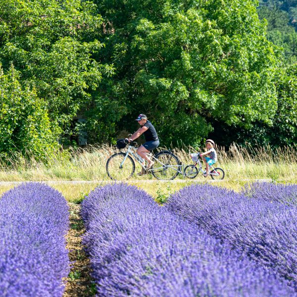
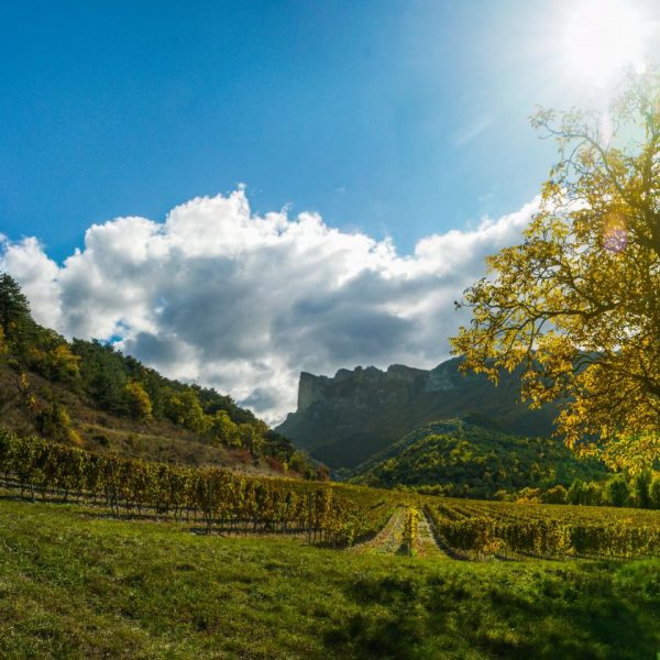
Cycling in the lavender fields of the Drôme Valley ©Paul Villecourt / outdoor-reporter.com
A brand new 40 km cycling route between the Alps and the Provence, as an extension of the ViaRhona, which starts at the cycling and pedestrian bridge over the river Drôme. This Véloroute uses small paths and local roads of the Drôme. The route, which stays as close to the river as possible, is a complementary route to the VTT26, but is more geared towards families.
What is a cycle route?
A cycle route is a continuous route over a medium or long distance, suitable for cycling. It is a mixture of roads shared with motorised vehicles and dedicated cycle paths, also known as greenways.
From stage to stage
1- ViaRhôna footbridge ==> Livron (7 km)
From the pedestrian bridge (cyclists allowed), the Vélodrôme follows the reinforced embankment of the Drôme. On the footbridge above the river there are signs to identify the various birds. You are in the nature reserve Printegarde, a resting area for migratory birds. It is advisable to make a diversion to the fish lock of the Drôme, an original and spectacular construction built in particular to save a small indigenous fish, ‘apron du Rhône’.
2- Livron-sur-Drôme ==> Allex (8 km)
The path continues to Livron, climbing up to the old village, Haut-Livron. It is very steep, but short (exactly 330 m). At the top, you can go to the belvedere. It is one of the most beautiful viewpoints of the Rhone valley. After passing the high-altitude village of Livron, you will reach Allex via small country roads that run along fruit orchards and the vineyards of Brézème. Brézème is an AOC Côte du Rhône appellation.
3- From Allex to Crest (10km)
In Allex, you turn towards Grâne to get closer to the river again and towards the nature reserve “Les Ramières” and the “Gare des Ramières” (visitor centre of the nature reserve with the same name). The route continues towards Crest, past the high-altitude village of Eurre and you will pass close to the beaver trail. The beaver is the emblematic animal of this river and the ‘Ecosite du Val de Drôme’, a centre of arts and crafts that can be visited. Next, you will come to Crest, an old medieval town. From the top of the imposing tower (52 m high), you have a wonderful view of the valley, the syncline of the Saoû forest and the mountains of the pre-Alps.
4- From Crest to Saillans (15km)
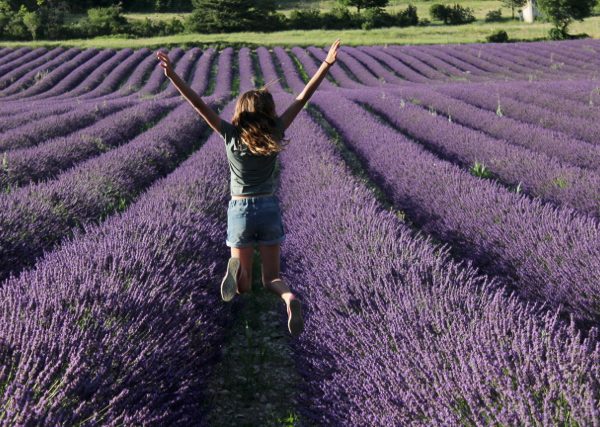
Continuing towards Aouste sur Sye, imposing buildings (mills, silk factories and spinning mills…) bear witness to a labour-intensive past. All along the river, these small mechanical industries made use of the driving force of the water of the Drôme. From Aouste-Sur-Sye to Saillans, the route runs along the vineyards and the first wine cellars of the AOC Clairette de Die, a fruity and sparkling wine. In summer, the lavender fields and other aromatic plants stimulate all our senses. Here we are in the Biovallée®. At the same time beautiful swimming spots promise a refreshing stop.
Access: Possible by train to the SNCF stations Livron or Loriol. From the south, you can follow the Viarhona until La Voulte, and then take the footbridge over the Drôme.
Bicycle rental: list available at the tourist offices.
Roads: unpaved but adapted for cyclists, asphalt.
Public road: more than 90%. These rural paths are accessible to vehicles of local residents.
Canoe/Train variation: Bicycle/Return by Canoe: You start from Saillans for your canoe descent. During the descent, your bicycle and luggage will be transported to your arrival point (after all, a box of Clairette wine is a bit difficult to transport in a canoe…). 14 km canoeing. Bike / return by Train : 3 stations are close to the vélodrôme : livron, crest, saillans.